The Eel River watershed data portal provides maps, reports, and links to download spatial data built in support of the Eel River Watershed Restoration and Conservation Program (ERRCP). The project is a collaboration between CalTrout and Cal Poly Humboldt (CPH), and highlights work of both CPH GIS students and ERRCP affiliates. Students at Cal Poly Humboldt have worked with researchers at CalTrout to create high resolution spatial data on conditions in northwestern California over the last 20 years. The associated methods, maps, and reports can also be found within this data portal.
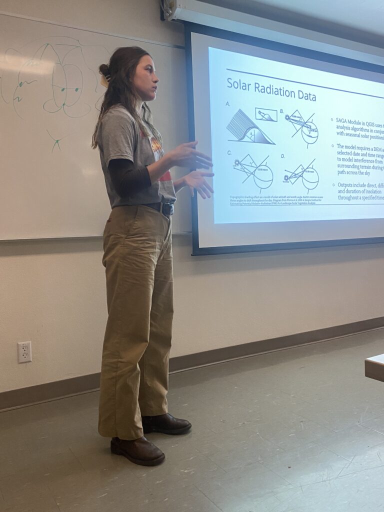
CPH GIS student Farrah Tyler presenting on Potential Solar Radiation data methods December 2023.